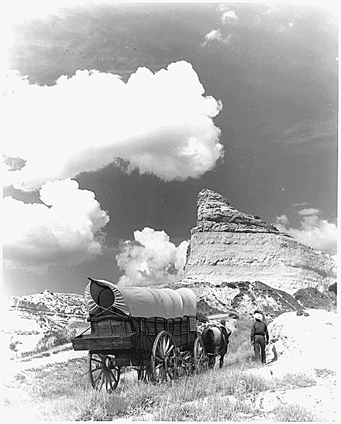


Rocky Mountains were one of the dangerous trips Lewis and Clark traveled in 1803. They had to go over the mountains in order to go to the Pacific Ocean. The Rocky Mountains is in Colorado. The Rocky Mountains stretches for 2,980 miles long. The highest point is 4,401 miles. (Delan)
St. Louis was where Lewis and Clark started their expedition. They took forty men for the expedition. Only several of them had military experience. They built three river boats and trained with rifles. They stored around 100 barrels of food, ammunitions for the guns, medicines, and some goods to trade with the Indians. They got ready on December of 1803. (Delan)
The Shoshone Indians occupied the west and east of the Rocky Mountains. Before Lewis and Clark continued their expedition across the Rocky Mountains, they stopped at the Shoshone tribe. The Shoshone leader, Cameahwait (Sacagawea’s brother), described the rivers ahead to Lewis and Clark. The Shoshone tribe traded their horses with the goods to Lewis and Clark’s team to help them when they go to the Rocky Mountains. (Delan)
The Hidatsa Indians lived near the Knife River now is in the center of North Dakota. They formed the trading and are often involved in trading. They grew squash, corn, beans and tobacco to trade with things like meat. The Hidatsa Indians benefited the expedition by showing critical information about the route ahead. They also presented the French person, Toussaint Charbonneau, and his wife, Sacagawea, to Lewis and Clark. Those two people later were very useful to the expedition. (Delan)
In November, the explorers set up a winter camp near the villages of the Mandan's a Hidatsas. Sacagawea, a Shoshone woman, who at the time was kidnapped by the Hidatsa. She then joins the Lewis and Clark expedition. (Brianna)
These five places are marked on the map.
No comments:
Post a Comment